Contour Map Software 3DField and 3DSurface
by Vladimir Galouchko
Home
Contact
Download
What Is New
3DSurface
3D Map
Interface
Libraries
3DFieldPro
FAQ
Manual
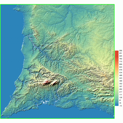
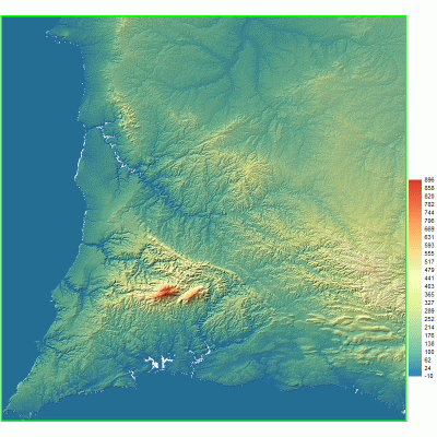
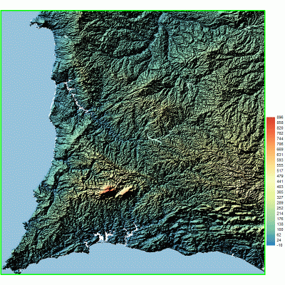
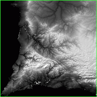
TERRAIN MAPS
Open the elevation data
(HGT, FLT, DEM files)
and choose the
Color Earth
map type. For example, source of HGT files is
Digital Elevation Data
site.
It is the result of Lommel-Seeliger relief method.
Click on map to see larger image.
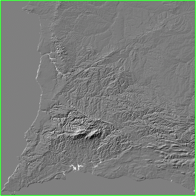
Right-click on a relief map in 3DField and choose
Shaded relief options
command to change the relief method and other properties.
Derive relief method.
Lambertian relief method.
Lommel-Seeliger relief method (monochrome).
Derive relief method (monochrome).